The plateau edge
Where the limestone ends, everything changes — the soil, the drainage, the farming, and the view.
A hard line, two worlds
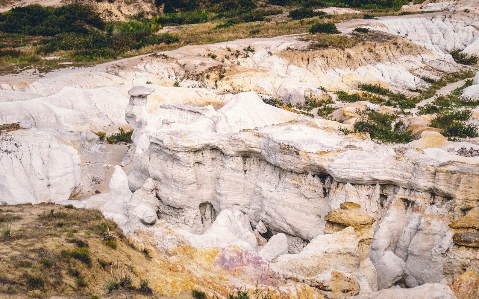
The plateau edge is not a gradual transition. Walk north across the Jura tableland and the ground is grey limestone, thin-soiled, holding almost no surface water — rain vanishes into fissures the moment it falls. Then the land simply stops. The escarpment drops, sometimes nearly vertically, sometimes in a staircase of ledges, into a valley where the rules are completely different.
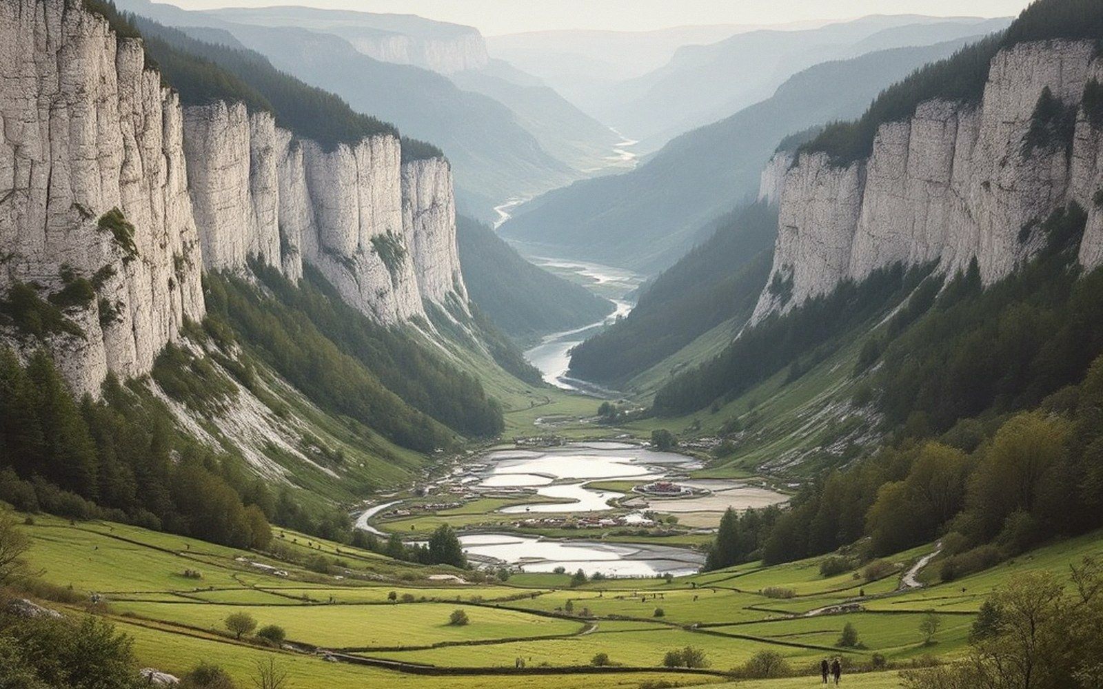
This boundary is structural, not incidental. The Jurassic limestones were laid down in near-horizontal beds, then tilted slightly westward by the Alpine compression that built the main Jura ranges to the east. Erosion has since stripped the upper beds back, producing a series of roughly parallel scarps. The outermost and lowest of these, facing the Bresse plain, is the one most people mean when they say "the plateau edge" — in French, the revers du plateau, the back-slope turned rearward.
What makes this edge so legible on the ground is the contact between limestone above and the softer, impermeable Lias clays and marls below. Groundwater moving through the limestone reaches that contact and is forced sideways and outward. Springs line the escarpment foot at a nearly consistent altitude, which is why the villages are there too — water, flat ground, and shelter from the prevailing wind, all delivered by the same geology. The brine springs near Salins-les-Bains work by precisely this mechanism, the difference being that the water has passed through buried Triassic evaporites before it resurfaces.
Field notes · Chronology of the landscape
- Jurassic: limestone beds deposited in shallow tropical seas
- Alpine compression (Miocene): beds tilted westward, faults introduced
- Ongoing: headward erosion by spring sapping continues to move the edge westward
Above the spring line, the cliff or steep slope is typically forested — beech and ash on the shadier exposures, sometimes box on the driest rock faces. Below it, where the marl holds moisture and the slope provides drainage without waterlogging, the land opens into vineyard and pasture. The grey marl weathers to a soil that is fertile by the standards of this region, retaining enough clay to hold nutrients that pure limestone cannot. The transition from rock to cultivation happens within a few dozen metres of elevation.
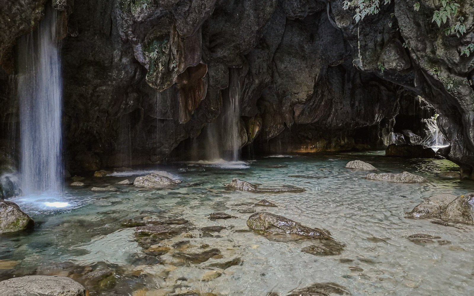
The edge is also where the reculées begin. These blind valleys are cut headward into the plateau by springs powerful enough to collapse rock from behind rather than carry it downstream — the erosive work done not by a river in flood but by the slow, relentless weakening of the cliff face by water emerging from within it. The plateau edge, in this sense, is not simply a boundary. It is actively moving.
Keep following the water