Brine comes up on its own
Where the water meets buried salt, it does the work of extraction before anyone sinks a shaft.
What the ground has buried
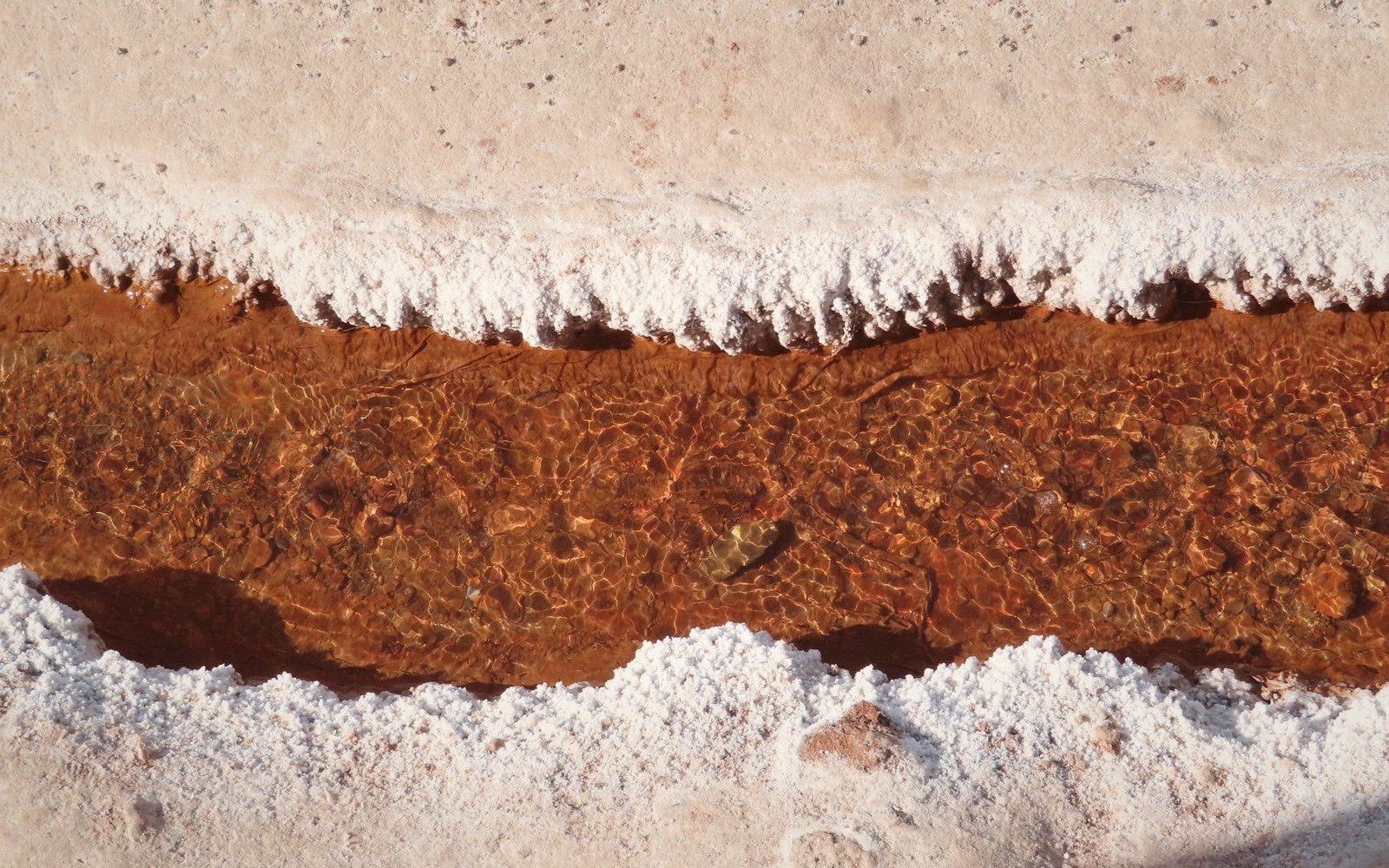
The Jura sits on a sequence of sedimentary layers that go back to the Triassic, when a warm, shallow sea repeatedly evaporated over what is now eastern France and western Switzerland. What that sea left behind, sealed under hundreds of metres of later limestone and marl, are beds of evaporite — gypsum, anhydrite, and rock salt. The limestone that built the plateau and carved the reculées is younger; the salt is far older, and it has been sitting there ever since, waiting for water.
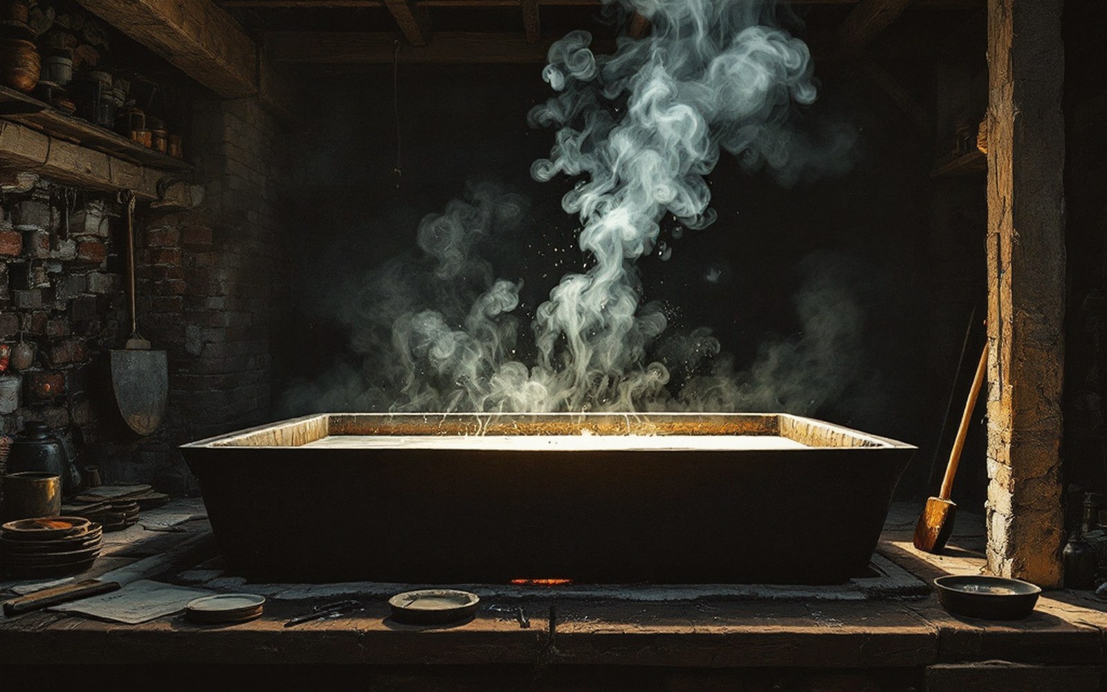
Water, of course, is what limestone country produces in quantity. Rain falls on the plateau, disappears into fissures and swallow holes, and moves underground through a karst network that connects the surface to depths the eye cannot follow. When that water reaches an evaporite horizon — or moves laterally along a fault until it meets one — it dissolves the salt and carries it back upward, following pressure gradients through the rock. The result is a brine spring: water that emerges at the surface already saturated, or close to it, with sodium chloride. No mining, no drilling, no shaft. The resource delivers itself.
This is not a marginal or accidental process. The geological structure of the arc between the Doubs valley and the Vosges is such that evaporite beds outcrop or come close to the surface at several points, and the karst plumbing of the region routes groundwater through them with regularity. The great salt towns — Salins-les-Bains, Arc-et-Senans, Lons-le-Saunier — include Salins-les-Bains and Lons-le-Saunier, which were positioned where brine springs were found, while Arc-et-Senans was sited for its wood. Geology chose the site. Everything else followed.
Field notes · Chronology
- Triassic periodevaporite beds (salt, gypsum, anhydrite) deposited under a shallow evaporating sea
- Before the thirteenth centurydocumented use of brine springs at Salins-les-Bains recorded in medieval sources
- Later medieval and early modern periodstone galleries built into hillsides to intercept rising brine at source
- Eighteenth centurypipeline built to carry brine from Salins-les-Bains to the new saltworks at Arc-et-Senans in the Forêt de Chaux
The spring and what it carries
A brine spring looks, from a distance, like any other karst spring: water emerging from rock or alluvium at the foot of a slope, feeding a small watercourse. The difference is chemical. Fresh karst springs carry dissolved calcium carbonate, which they deposit as tufa once the water degasses at the surface. Brine springs carry sodium chloride instead, and they deposit nothing visible — but they are denser than fresh water, slower to mix, and often slightly warm, because deep circulation through rock adds geothermal heat to the solute load.
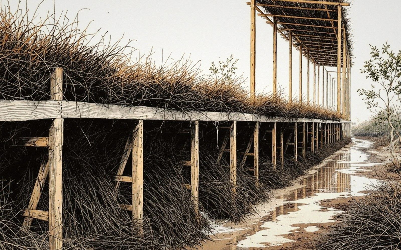
At Salins-les-Bains, the brine rises through a fault system into the valley of the Furieuse. Medieval documents record the springs as already in use before the thirteenth century, and the underground infrastructure built to collect and concentrate them — stone-lined galleries running directly into the hillside to intercept the rising brine at its source — is in places still intact. The salinity at source was never uniform: different galleries and different depths produced water of varying concentration, which meant the industry developed early practices of blending and measurement to manage what went into the boiling pans.
The concentration question was fundamental, because evaporating water costs fuel, and fuel in a forested but difficult terrain was always the binding constraint. A brine of low salinity — say, ten grams of salt per litre — costs far more to reduce to dry salt than one running at one hundred grams per litre or above. Natural brine springs in the Jura could reach very high concentrations, well above seawater, because the water had been in prolonged contact with solid rock salt rather than with a diffuse marine solution. That high starting concentration was the economic foundation of the industry: it made the enterprise viable before any technology of artificial concentration existed.
Field notes · The chemistry in brief
- Evaporite bedssedimentary layers of salt, gypsum and anhydrite left by evaporated Triassic seawater
- Brine springa karst spring whose underground path has crossed a salt bed; the water arrives at the surface pre-saturated with sodium chloride
- Salinity at sourceJura brine springs could reach concentrations well above seawater, reducing the fuel cost of boiling to dry salt
- Blendingearly practice of mixing brine from different galleries to manage variable concentration before boiling
When the strongest brine at Salins was eventually judged insufficient to meet expanding demand — and when the woodland around the town had been consumed to a damaging degree — the solution was not to find a new spring but to move the water toward the fuel. A pipeline was built to carry raw brine from Salins downhill and cross-country to a new works at Arc-et-Senans, deep in the Forêt de Chaux, where wood was still abundant. The brine did not change; the relationship between the resource and the energy needed to process it did. But the spring itself, the geological accident that put saturated water at the surface, remained the irreducible starting point — the thing that made everything else possible.
Keep following the water