A valley that cuts backwards
A reculée — a backed-up valley — is one of the stranger landforms you can walk into: steep walls on three sides, a spring at the closed end, and no river valley leading in. It looks like erosion working in the wrong direction. It is.
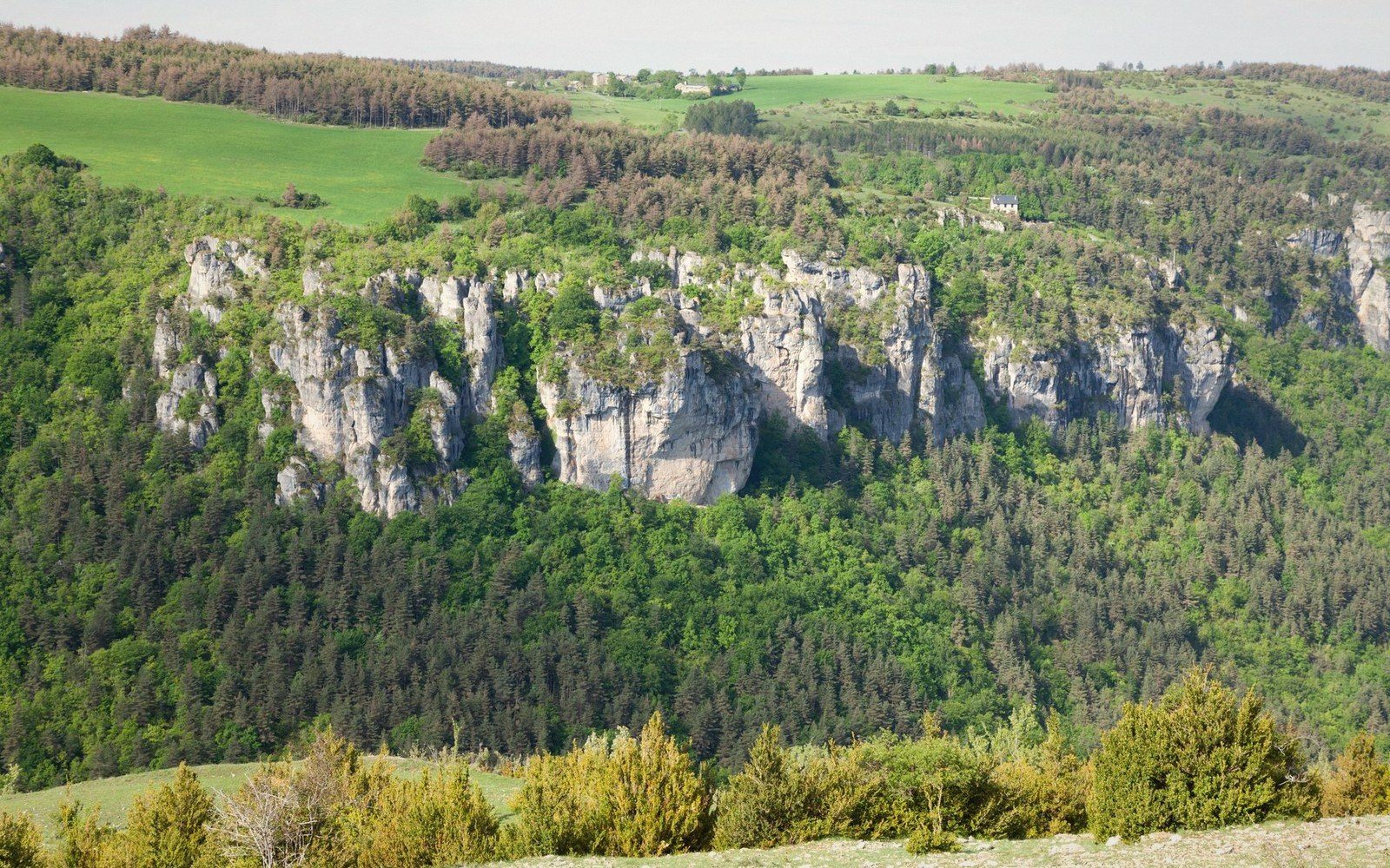
The shape and what makes it
A river valley erodes by moving water and sediment downstream, cutting into its bed and widening its banks. A reculée does the opposite: it begins at a point, migrates headward, and the work is done almost entirely at the back wall, not along the flanks. The result is a valley that opens onto the plain at one end and terminates, abruptly and vertically, at the other. Stand at that back wall on a damp morning and you will feel the cold air pouring off it, and hear — or more likely smell, before you hear — the spring that made the whole thing.
These landforms cut into the western face of the Jura plateau, where the limestone escarpment meets the Bresse plain. They range from modest notches barely a kilometre deep to the great examples at Baume-les-Messieurs and Reculée des Planches near Arbois: enclosed cirques whose limestone walls rise a hundred metres and more above the valley floor. What they share is a structure that makes sense only when you understand the rock sequence beneath your feet and the peculiar hydrology it imposes.
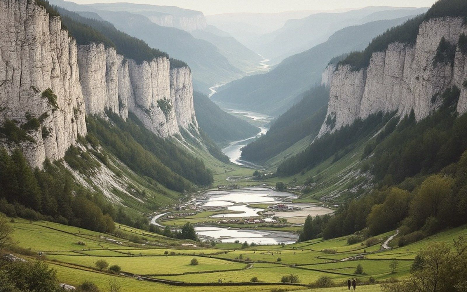
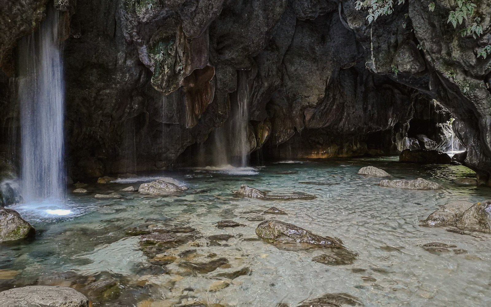
The Jura limestone is not uniform. Younger, harder limestone caps the plateau; beneath it lie softer marls and then, farther down, more limestone. Water moves through fissures and fractures in the upper limestone, finds its way to the impermeable marl horizon and then, unable to sink further, travels laterally until it reaches the escarpment face. There it discharges as a spring — often a large, clear, violent one — at the foot of the cliff. That spring is both the end point of the drainage system and the engine of the landform.
How the eating works
The spring matters because it does not merely issue water. It saturates the base of the cliff. Limestone dissolves slowly in carbonic acid, the weak acid that any rainwater picks up from soil and air, and a perennial spring delivers an unending supply of that acidic water to one small zone at the cliff foot. Over geological time, the rock there is softened and removed — not dramatically, not in any human lifetime, but persistently. The cliff above, undermined, loses its support.
When a section of that cliff face collapses, it does not slide gently. Limestone fails in blocks, and the rubble that accumulates at the base of the back wall — the scree apron, grey and angular — is a record of every collapse event since the cirque began forming. Each collapse exposes fresh rock to the spring water. Each exposure is another cycle of saturation, dissolution, undercutting and eventual failure. This is headward erosion in its most literal form: the cliff is eating the plateau from underneath, retreat by retreat.
Field notes · Key process — how a reculée retreats
- Spring issues at cliff basedelivers acidic water continuously to one small zone
- Dissolution softens and removes rock at the base of the back wall
- Undermined cliff fails in limestone blocks; rubble accumulates as scree apron
- Each collapse exposes fresh rock; the cycle restarts
- Frost enlarges joints from above simultaneously; spring thaw triggers large falls
- Net result: cliff migrates headward into the plateau; valley floor grows outward as stream deposits sediment
The side walls of a reculée are nearly vertical for the same reason. Once the initial recession has cut a notch into the plateau edge, the geometry constrains the collapse. Rockfalls must stay within the existing walls or they extend the cirque sideways as well as backward. Over a long sequence of events, the result is an enclosure that is roughly semicircular when viewed from above — three steep walls meeting at a rounded back, the spring at the lowest point of that back. The valley floor, built partly from collapsed debris and partly from the silts and gravels carried by the stream the spring generates, slopes gently out toward the plain, where the plateau edge presents as a hard wall to anyone looking up from below.
The stream that issues from the spring and flows down the valley floor is not the cause of the reculée's shape — it is its consequence. Remove the spring and the retreat stops. The valley would remain, its walls slowly declining under frost and gravity, but the active headward cutting that gives a reculée its characteristic closed form would cease. Everything depends on the spring, and the spring depends entirely on the rock being the reservoir: rain falling on the plateau kilometres away, moving through fissures, accumulating head, and discharging at this one point.
Time, collapse and the cliff we see now
The great reculées of the Jura are not young. They began forming when the drainage network of the western Jura was establishing itself after the last major glacial cycles, perhaps a hundred thousand years ago or more, and they have been retreating ever since at rates that geologists can estimate but not precisely date without detailed study of individual sites. The cliff faces are active — lichenous near the top where rock has not moved in centuries, pale and fresh lower down where more recent falls have broken the surface. Walk the scree at Baume-les-Messieurs and you are walking on the plateau that used to be there.
The collapse episodes are not random. Frost plays a role: water that enters a crack in autumn, freezes in winter and expands, widens the joint fractionally. Do that for a thousand winters and the crack becomes a fissure and the fissure becomes a failure plane. Spring thaw, when the ice melts and the structural support it provided vanishes overnight, is the trigger for many large rockfalls in such environments. The spring at the back of the cirque keeps the base wet and weak; the frost attacks from above; the cliff is being worked from both ends simultaneously.
The depth of a mature reculée — the horizontal distance the back wall has retreated from the plateau edge — records the total volume of rock removed since the cycle began. At Baume-les-Messieurs the valley runs roughly two kilometres back into the plateau. Every metre of that retreat represents a collapse, and each collapse represents a period of undercutting that may have taken centuries. This is not dramatic geological violence but a slow, steady consumption of solid rock by water and gravity working together over an immense span of time.
Field notes · Chronology
- Reculée formation beginsafter major glacial cycles re-establish drainage networks; broadly the last hundred thousand years or more
- Ongoing processcliff retreat continues wherever the spring still flows
- Visible evidence of stagesfresh pale rock at recent fall scars; lichen-covered older surfaces higher up; scree apron records cumulative collapse
What remains visible today is a valley in mid-process. The spring at the closed end is still flowing, still dissolving, still undermining. The cliff above is still jointed, still frost-worked, still destined to fall in sections not yet determined. The valley will be longer in ten thousand years than it is now, and the plateau above will be correspondingly shorter. A reculée is not a finished landform. It is a mechanism, caught in the act.
The practical consequence for anyone reading this landscape as a working system is simple: the spring at the head of the valley is reliable because the rock is the reservoir, and reliable water is why settlements clustered at these cirque heads from early on. The mill, the wash-house, the watering trough — all placed where the spring emerges, at the foot of the cliff that the spring itself is slowly destroying.
Keep following the water