Dry Valleys
Watercourses on the plateau with no water in them, and where it went.
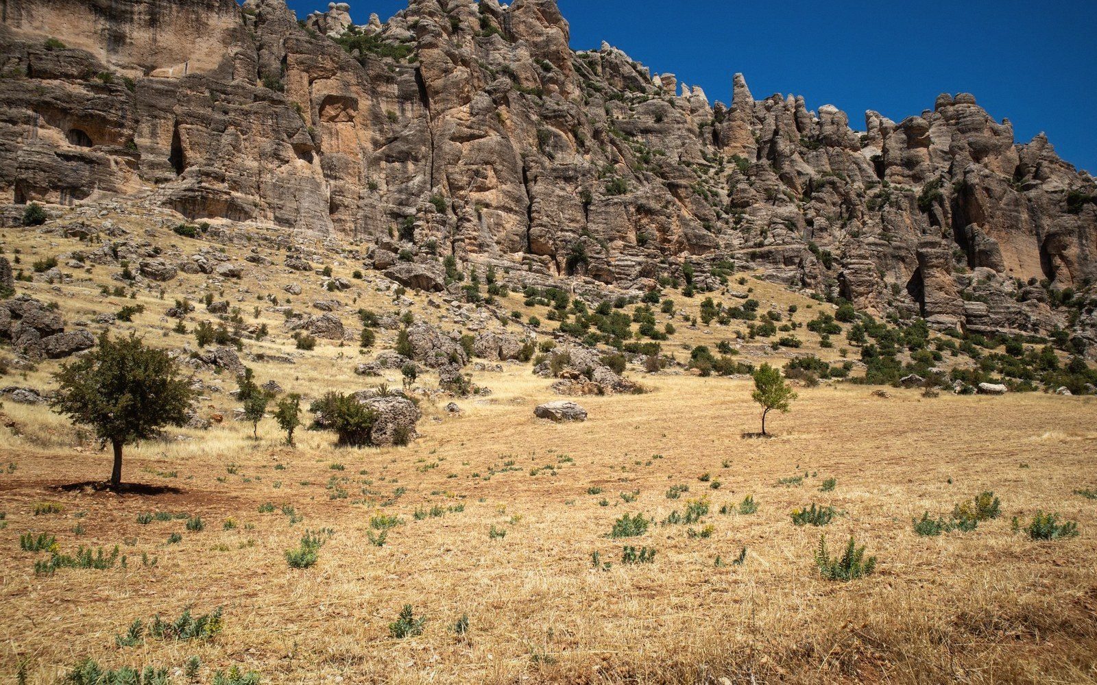
Where the river went
A dry valley on the Jurassic limestone plateau looks, at first glance, like a mistake. The landform is unambiguous — a curved, graded channel, shallow V in cross-section, with the unmistakable geometry of flowing water — yet no water flows. The bed is bare rock and rubble. On an ordinary catchment this would be a puzzle; here it is simply karst logic, made visible.
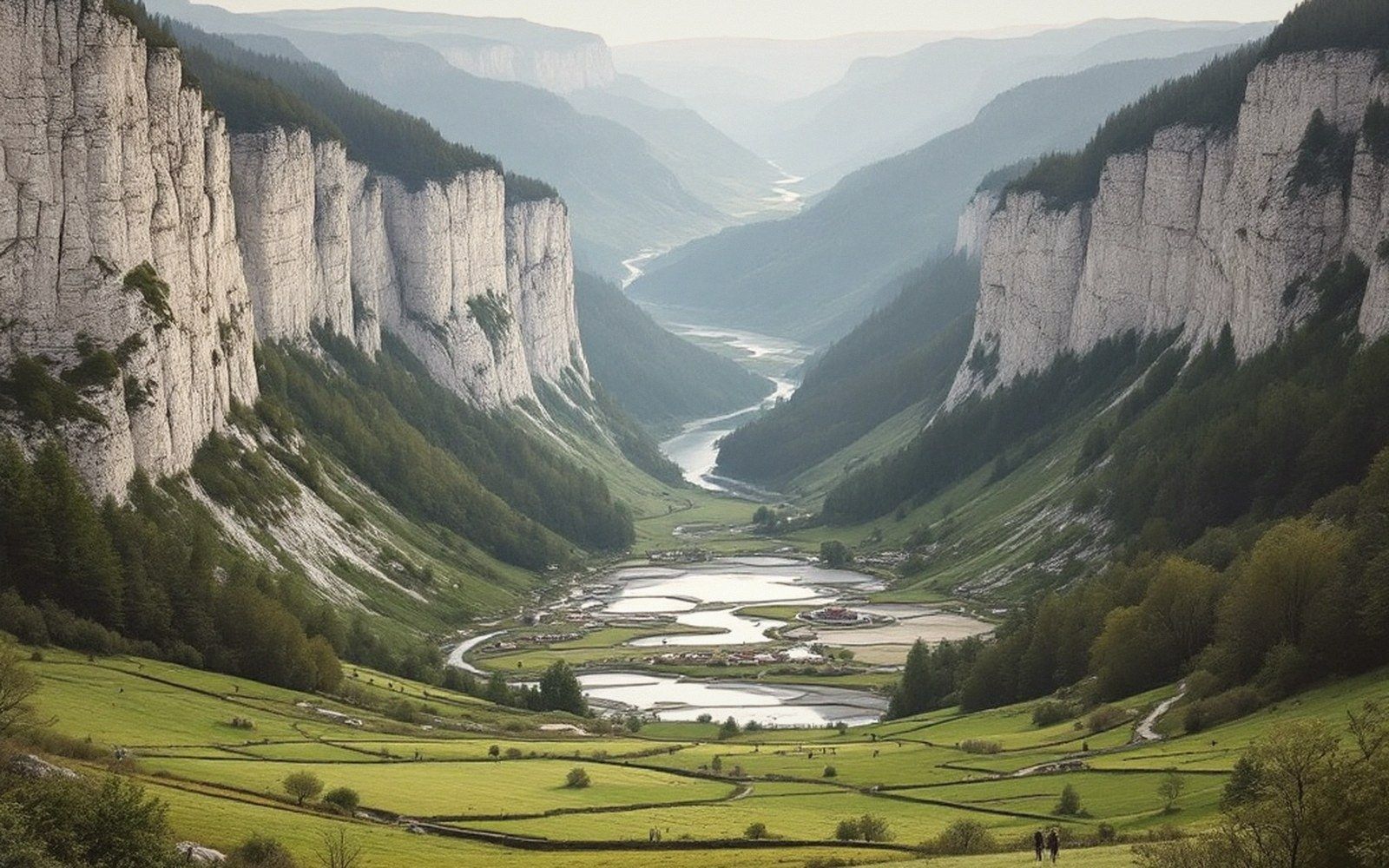
The explanation begins with the rock itself. Limestone is soluble. Rain infiltrates along joints and bedding planes, and over time the fissure network enlarges until the rock can swallow surface runoff faster than it accumulates. A stream that once ran openly across the plateau finds that the ground beneath it has, effectively, become more permeable than the channel above it. Flow drops underground at swallow holes, and the valley above the sink point is abandoned — still perfectly shaped by the water that carved it, but carrying none.
On the Jura plateau, this process ran to completion during wetter climatic phases when surface drainage was active across terrain that is now fully karstified. What remains is a fossil drainage network: valleys that follow genuine hydrological logic, draining toward low points, branching upstream in the expected pattern, but silent. Some are broad and soil-filled, centuries of windblown sediment resting where flood gravel once moved. Others are rockier, showing the grey limestone ribs through thin turf. Both are recognisably valleys; neither carries a stream.
Field notes · Chronology of a dry valley
- Wetter climatic phaseactive surface drainage carves the valley form
- Progressive karstificationfissure network enlarges; infiltration capacity increases
- Captureflow drops underground at swallow holes; valley above abandoned
- Presentfossil drainage network; aquifer carries the water to a spring elsewhere
The water itself has not disappeared — it has simply moved into a different part of the system. It percolates through the aquifer and re-emerges, often kilometres away, at a karst spring. The spatial disconnect between where rain falls, where it travels, and where it surfaces is one of the defining characteristics of this landscape. A dry valley on the plateau is, in effect, the upstream half of a drainage system whose downstream half is underground. Dye tracing has confirmed these connections repeatedly, showing that water sinking at one point on the plateau emerges at a specific spring in the valley below, sometimes after passing beneath a topographic divide that surface drainage could never cross.
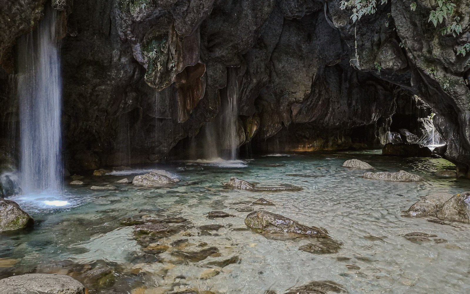
Dry valleys also carry practical consequence. Because they hold no permanent water, they offer no reliable grazing water and limited use for mills. Settlement on the plateau tended toward the rare spots where springs still functioned at the surface — usually where an impermeable horizon interrupted the limestone sequence and forced water back out. The dry valley, by contrast, became track and path: the graded bed made an easy route across otherwise broken terrain, useful precisely because the thing that made it was gone.
Keep following the water